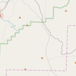
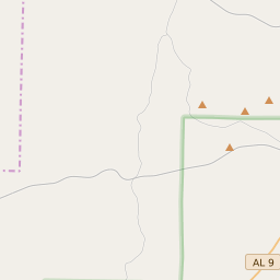
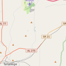
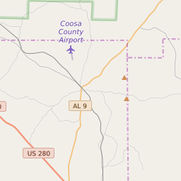
Map of Clay County Precinct Level Results for the 2020 Presidential Election
D 80-100% |
D 70-80% |
D 60-70% |
D 45-60% |
R 45-60% |
R 60-70% |
R 70-80% |
R 80-100% |
List of Clay County Precinct Level Results for the 2020 Presidential Election | ||||||||
|---|---|---|---|---|---|---|---|---|
| Map Index | Precinct | City/Town | ZIP Code | Joe Biden Democrat | Donald Trump Republican | Jo Jorgensen Libertarian | ||
| Barfield VFD | Delta | 36258 | 62 (9.47%) | 587 (89.62%) | 6 (0.92%) | |||
| Bibb Graves Comm Ctr | Millerville | 36267 | 99 (24.15%) | 310 (75.61%) | 1 (0.24%) | |||
| Bluff Springs FD | 36256 | 15 (3.7%) | 386 (95.31%) | 3 (0.74%) | ||||
| Coleta Valley FD | 35160 | 20 (11.49%) | 152 (87.36%) | 2 (1.15%) | ||||
| County Annex | Lineville | 35072 | 339 (22%) | 1190 (77.22%) | 8 (0.52%) | |||
| Cragford FD | 36266 | 21 (10.14%) | 185 (89.37%) | 1 (0.48%) | ||||
| Delta Comm Ctr | Delta | 36266 | 23 (8.39%) | 247 (90.15%) | 4 (1.46%) | |||
| Highland-Coppermine FD | 36268 | 9 (4.35%) | 192 (92.75%) | 6 (2.9%) | ||||
| Hipine FD | 35160 | 8 (7.41%) | 100 (92.59%) | 0 (0%) | ||||
| Hollins Comm Ctr | Hollins | 35082 | 27 (8.52%) | 289 (91.17%) | 1 (0.32%) | |||
| Idaho FD | 36266 | 13 (4.78%) | 255 (93.75%) | 3 (1.1%) | ||||
| Lineville/Farmers Mrkt | Lineville | 36251 | 488 (36.5%) | 838 (62.68%) | 10 (0.75%) | |||
| Mellow Valley High | 36251 | 19 (4.66%) | 383 (93.87%) | 4 (0.98%) | ||||
| Shinbone VFD | 36266 | 30 (12%) | 218 (87.2%) | 2 (0.8%) | ||||
| Tri-Community FD | 35150 | 94 (25.75%) | 269 (73.7%) | 2 (0.55%) | ||||


