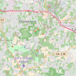
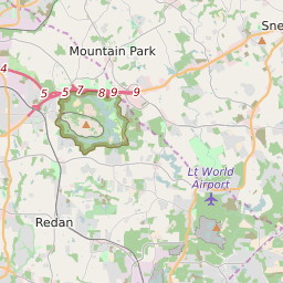
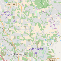
Map of Rockdale County Precinct Level Results for the 2020 Presidential Election
D 80-100% |
D 70-80% |
D 60-70% |
D 45-60% |
R 45-60% |
R 60-70% |
R 70-80% |
R 80-100% |
List of Rockdale County Precinct Level Results for the 2020 Presidential Election | ||||||||
|---|---|---|---|---|---|---|---|---|
| Map Index | Precinct | City/Town | ZIP Code | Joe Biden Democrat | Donald Trump Republican | Jo Jorgensen Libertarian | ||
| BA | 30016 | 2204 (62.76%) | 1274 (36.28%) | 34 (0.97%) | ||||
| BT | 30052 | 1099 (40.15%) | 1600 (58.46%) | 38 (1.39%) | ||||
| CO | Conyers | 30012 | 1714 (78.26%) | 453 (20.68%) | 23 (1.05%) | |||
| FI | 30013 | 3672 (85.12%) | 609 (14.12%) | 33 (0.76%) | ||||
| FS | 30013 | 2198 (78.87%) | 571 (20.49%) | 18 (0.65%) | ||||
| HC | 30094 | 968 (55.31%) | 762 (43.54%) | 20 (1.14%) | ||||
| HI | Milstead | 30013 | 1611 (65.43%) | 835 (33.92%) | 16 (0.65%) | |||
| LA | Lakeview Estates | 30012 | 855 (69.63%) | 351 (28.58%) | 22 (1.79%) | |||
| LO | 30294 | 1798 (59.56%) | 1200 (39.75%) | 21 (0.7%) | ||||
| MA | 30016 | 1226 (55.15%) | 962 (43.27%) | 35 (1.57%) | ||||
| MI | 30012 | 2054 (77.74%) | 557 (21.08%) | 31 (1.17%) | ||||
| OT | Conyers | 30094 | 3107 (84.25%) | 553 (14.99%) | 28 (0.76%) | |||
| RO | 30094 | 2339 (73.07%) | 834 (26.05%) | 28 (0.87%) | ||||
| SM | 30094 | 2326 (74.5%) | 763 (24.44%) | 33 (1.06%) | ||||
| SP | Conyers | 30013 | 2600 (76.81%) | 759 (22.42%) | 26 (0.77%) | |||
| ST | 30094 | 1473 (60.72%) | 929 (38.29%) | 24 (0.99%) | ||||


