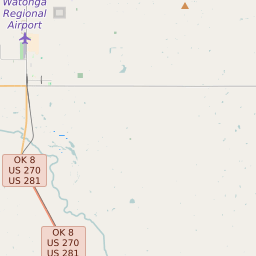
Map of Blaine County Precinct Level Results for the 2020 Presidential Election
D 80-100% |
D 70-80% |
D 60-70% |
D 45-60% |
R 45-60% |
R 60-70% |
R 70-80% |
R 80-100% |
List of Blaine County Precinct Level Results for the 2020 Presidential Election | ||||||||
|---|---|---|---|---|---|---|---|---|
| Map Index | Precinct | City/Town | ZIP Code | Joe Biden Democrat | Donald Trump Republican | Jo Jorgensen Libertarian | ||
| 060002 | Homestead | 73755 | 75 (11.14%) | 591 (87.82%) | 7 (1.04%) | |||
| 060007 | Canton | 73772 | 92 (14.22%) | 548 (84.7%) | 7 (1.08%) | |||
| 060010 | Watonga | 73744 | 70 (21.21%) | 258 (78.18%) | 2 (0.61%) | |||
| 060011 | Watonga | 73772 | 116 (43.45%) | 150 (56.18%) | 1 (0.37%) | |||
| 060012 | Hitchcock | 73744 | 167 (17.32%) | 781 (81.02%) | 16 (1.66%) | |||
| 060016 | Greenfield | 73043 | 25 (16.13%) | 129 (83.23%) | 1 (0.65%) | |||
| 060017 | Geary | 73040 | 118 (23.74%) | 371 (74.65%) | 8 (1.61%) | |||
| 060020 | 73040 | 21 (7.47%) | 259 (92.17%) | 1 (0.36%) | ||||
| 060022 | Eagle City | 73724 | 4 (7.41%) | 49 (90.74%) | 1 (1.85%) | |||


