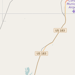
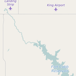
Map of Washita County Precinct Level Results for the 2020 Presidential Election
D 80-100% |
D 70-80% |
D 60-70% |
D 45-60% |
R 45-60% |
R 60-70% |
R 70-80% |
R 80-100% |

List of Washita County Precinct Level Results for the 2020 Presidential Election | ||||||||
|---|---|---|---|---|---|---|---|---|
| Map Index | Precinct | City/Town | ZIP Code | Joe Biden Democrat | Donald Trump Republican | Jo Jorgensen Libertarian | ||
| 750003 | 73041 | 23 (14.56%) | 133 (84.18%) | 2 (1.27%) | ||||
| 750004 | New Cordell | 73632 | 156 (17.47%) | 728 (81.52%) | 9 (1.01%) | |||
| 750007 | Corn | 73632 | 28 (7.53%) | 339 (91.13%) | 5 (1.34%) | |||
| 750009 | Rocky | 73041 | 16 (6.35%) | 234 (92.86%) | 2 (0.79%) | |||
| 750012 | Bessie | 73601 | 35 (12.07%) | 248 (85.52%) | 7 (2.41%) | |||
| 750014 | Canute | 73641 | 60 (9.92%) | 540 (89.26%) | 5 (0.83%) | |||
| 750016 | Burns Flat | 73624 | 64 (11.81%) | 468 (86.35%) | 10 (1.85%) | |||
| 750017 | Dill City | 73632 | 24 (10.08%) | 209 (87.82%) | 5 (2.1%) | |||
| 750018 | Burns Flat | 73632 | 39 (13.59%) | 245 (85.37%) | 3 (1.05%) | |||
| 750019 | Sentinel | 73641 | 42 (9.57%) | 393 (89.52%) | 4 (0.91%) | |||
| 750020 | Colony | 73024 | 33 (13.69%) | 207 (85.89%) | 1 (0.41%) | |||
| 750030 | New Cordell | 73632 | 78 (18.31%) | 342 (80.28%) | 6 (1.41%) | |||