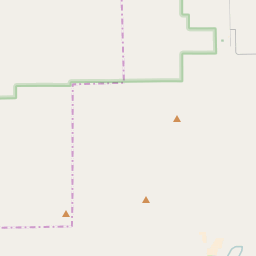
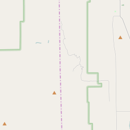
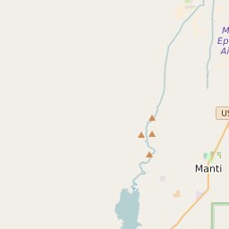
Map of Sanpete County Precinct Level Results for the 2020 Presidential Election
D 80-100% |
D 70-80% |
D 60-70% |
D 45-60% |
R 45-60% |
R 60-70% |
R 70-80% |
R 80-100% |
List of Sanpete County Precinct Level Results for the 2020 Presidential Election | ||||||||
|---|---|---|---|---|---|---|---|---|
| Map Index | Precinct | City/Town | ZIP Code | Joe Biden Democrat | Donald Trump Republican | Jo Jorgensen Libertarian | ||
| Axtell | 84622 | 19 (10.33%) | 163 (88.59%) | 2 (1.09%) | ||||
| Centerfield City | Centerfield | 84622 | 58 (9.46%) | 550 (89.72%) | 5 (0.82%) | |||
| Centerfield-Sterling-Fayette | 84643 | 28 (12.02%) | 203 (87.12%) | 2 (0.86%) | ||||
| Ephraim City | Ephraim | 84627 | 337 (17.04%) | 1594 (80.59%) | 47 (2.38%) | |||
| Ephraim unincorporated | 84642 | 13 (9.35%) | 125 (89.93%) | 1 (0.72%) | ||||
| Fairview City | Fairview | 84629 | 81 (11.93%) | 579 (85.27%) | 19 (2.8%) | |||
| Fairview unincorporated | 84629 | 117 (16.53%) | 582 (82.2%) | 9 (1.27%) | ||||
| Fayette Town | Fayette | 84630 | 8 (6.2%) | 121 (93.8%) | 0 (0%) | |||
| Fountain Green City | Fountain Green | 84629 | 67 (11.3%) | 516 (87.02%) | 10 (1.69%) | |||
| Gunnison City | Gunnison | 84622 | 92 (10.64%) | 763 (88.21%) | 10 (1.16%) | |||
| Manti City | Manti | 84642 | 209 (12.21%) | 1471 (85.92%) | 32 (1.87%) | |||
| Manti unincorporated | 84627 | 10 (7.58%) | 122 (92.42%) | 0 (0%) | ||||
| Mayfield City | Mayfield | 84642 | 53 (17.26%) | 248 (80.78%) | 6 (1.95%) | |||
| Moroni City | Moroni | 84647 | 77 (12.94%) | 506 (85.04%) | 12 (2.02%) | |||
| Moroni unincorporated | 84647 | 24 (16%) | 126 (84%) | 0 (0%) | ||||
| Mount Pleasant City 1 | Mount Pleasant | 84647 | 211 (20.55%) | 795 (77.41%) | 21 (2.04%) | |||
| Mount Pleasant City 1 unincorporated | 84629 | 23 (9.62%) | 207 (86.61%) | 9 (3.77%) | ||||
| Mount Pleasant City 2 | Mount Pleasant | 84647 | 91 (17.88%) | 412 (80.94%) | 6 (1.18%) | |||
| Mount Pleasant City 2 unincorporated | 84629 | 25 (18.66%) | 105 (78.36%) | 4 (2.99%) | ||||
| Mount Pleasant City 3 unincorporated | 84647 | 14 (10.69%) | 113 (86.26%) | 4 (3.05%) | ||||
| Spring City | Spring City | 84662 | 141 (24.78%) | 419 (73.64%) | 9 (1.58%) | |||
| Spring City unincorporated | 84647 | 23 (11.56%) | 174 (87.44%) | 2 (1.01%) | ||||
| Sterling Town | Sterling | 84665 | 11 (7.05%) | 145 (92.95%) | 0 (0%) | |||
| Wales Town | Wales | 84667 | 30 (16.22%) | 155 (83.78%) | 0 (0%) | |||
| Wales-Chester-Fountain Green unincorporated | 84632 | 32 (10.6%) | 265 (87.75%) | 5 (1.66%) | ||||


