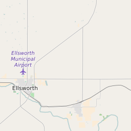
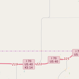
Map of ZIP Code 67439 Precinct Level Results for the 2020 Presidential Election
D 80-100% |
D 70-80% |
D 60-70% |
D 45-60% |
R 45-60% |
R 60-70% |
R 70-80% |
R 80-100% |
List of ZIP Code 67439 Precinct Level Results for the 2020 Presidential Election | ||||||||
|---|---|---|---|---|---|---|---|---|
| Map Index | Precinct | City/Town | ZIP Code | Joe Biden Democrat | Donald Trump Republican | Jo Jorgensen Libertarian | ||
| Ash Creek Township Voting District | 67454 | 3 (9.38%) | 29 (90.63%) | 0 (0%) | ||||
| Black Wolf Township Voting District | 67490 | 15 (30.61%) | 34 (69.39%) | 0 (0%) | ||||
| Buckeye Township Voting District | 67444 | 3 (8.11%) | 34 (91.89%) | 0 (0%) | ||||
| Canren Township Voting District | Ellsworth | 67439 | 12 (35.29%) | 22 (64.71%) | 0 (0%) | |||
| Clear Creek Township Voting District | 67425 | 7 (11.48%) | 51 (83.61%) | 3 (4.92%) | ||||
| Columbia Township Voting District | 67490 | 2 (5.56%) | 33 (91.67%) | 1 (2.78%) | ||||
| Ellsworth City East Ward 1 | Ellsworth | 67439 | 82 (23.98%) | 252 (73.68%) | 8 (2.34%) | |||
| Ellsworth City East Ward 2 | Ellsworth | 67439 | 98 (28.91%) | 233 (68.73%) | 8 (2.36%) | |||
| Ellsworth City West Voting District | Ellsworth | 67439 | 101 (27.15%) | 263 (70.7%) | 8 (2.15%) | |||
| Ellsworth Township Voting District | 67439 | 24 (23.08%) | 80 (76.92%) | 0 (0%) | ||||
| Garfield Township Voting District | 67439 | 4 (12.5%) | 28 (87.5%) | 0 (0%) | ||||
| Kanopolis Township Voting District | Kanopolis | 67439 | 63 (25.71%) | 175 (71.43%) | 7 (2.86%) | |||
| Langley Township Voting District | 67444 | 3 (6.12%) | 43 (87.76%) | 3 (6.12%) | ||||
| Lincoln Township Voting District | 67459 | 6 (19.35%) | 24 (77.42%) | 1 (3.23%) | ||||
| Sherman Township Voting District | 67439 | 2 (4.55%) | 41 (93.18%) | 1 (2.27%) | ||||
| Thomas Township Voting District | 67454 | 2 (4.35%) | 44 (95.65%) | 0 (0%) | ||||
| Trivoli Township Voting District | 67454 | 2 (8%) | 22 (88%) | 1 (4%) | ||||
| Venango Township Voting District | 67439 | 16 (32%) | 33 (66%) | 1 (2%) | ||||


