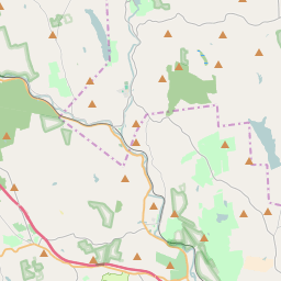
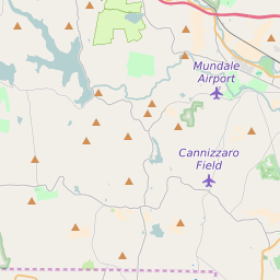
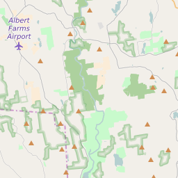
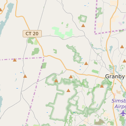
Map of ZIP Code 01085 Precinct Level Results for the 2020 Presidential Election
D 80-100% |
D 70-80% |
D 60-70% |
D 45-60% |
R 45-60% |
R 60-70% |
R 70-80% |
R 80-100% |
List of ZIP Code 01085 Precinct Level Results for the 2020 Presidential Election | ||||||||
|---|---|---|---|---|---|---|---|---|
| Map Index | Precinct | City/Town | ZIP Code | Joe Biden Democrat | Donald Trump Republican | Jo Jorgensen Libertarian | ||
| Montgomery Town Precinct 1 | 01071 | 246 (43.77%) | 312 (55.52%) | 4 (0.71%) | ||||
| Russell Town Precinct 1 | Russell | 01008 | 366 (40.4%) | 512 (56.51%) | 28 (3.09%) | |||
| Westfield City Ward 1 Precinct A | Westfield | 01085 | 1030 (48.68%) | 1055 (49.86%) | 31 (1.47%) | |||
| Westfield City Ward 1 Precinct B | Westfield | 01085 | 868 (46%) | 968 (51.3%) | 51 (2.7%) | |||
| Westfield City Ward 2 Precinct A | Westfield | 01085 | 655 (58.74%) | 445 (39.91%) | 15 (1.35%) | |||
| Westfield City Ward 2 Precinct B | Westfield | 01085 | 808 (53.72%) | 660 (43.88%) | 36 (2.39%) | |||
| Westfield City Ward 3 Precinct A | Westfield | 01085 | 587 (54.91%) | 448 (41.91%) | 34 (3.18%) | |||
| Westfield City Ward 3 Precinct B | Westfield | 01085 | 934 (54.94%) | 722 (42.47%) | 44 (2.59%) | |||
| Westfield City Ward 4 Precinct A | Westfield | 01085 | 322 (47.85%) | 338 (50.22%) | 13 (1.93%) | |||
| Westfield City Ward 4 Precinct B | Westfield | 01085 | 1129 (49.41%) | 1119 (48.97%) | 37 (1.62%) | |||
| Westfield City Ward 5 Precinct A | Westfield | 01077 | 1122 (48.68%) | 1128 (48.94%) | 55 (2.39%) | |||
| Westfield City Ward 5 Precinct B | Westfield | 01085 | 1019 (45.84%) | 1163 (52.32%) | 41 (1.84%) | |||
| Westfield City Ward 6 Precinct A | Westfield | 01073 | 911 (46.1%) | 1022 (51.72%) | 43 (2.18%) | |||
| Westfield City Ward 6 Precinct B | Westfield | 01085 | 815 (50.22%) | 790 (48.68%) | 18 (1.11%) | |||


