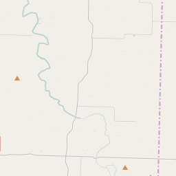
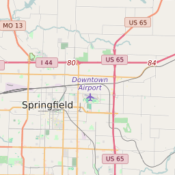
Map of ZIP Code 65706 Precinct Level Results for the 2020 Presidential Election
D 80-100% |
D 70-80% |
D 60-70% |
D 45-60% |
R 45-60% |
R 60-70% |
R 70-80% |
R 80-100% |
List of ZIP Code 65706 Precinct Level Results for the 2020 Presidential Election | ||||||||
|---|---|---|---|---|---|---|---|---|
| Map Index | Precinct | City/Town | ZIP Code | Joe Biden Democrat | Donald Trump Republican | Jo Jorgensen Libertarian | ||
| Boone | 65706 | 61 (12.2%) | 434 (86.8%) | 5 (1%) | ||||
| Diggins | Diggins | 65706 | 130 (16.56%) | 646 (82.29%) | 9 (1.15%) | |||
| East Ozark/Northview A | Marshfield | 65652 | 327 (16.55%) | 1628 (82.39%) | 21 (1.06%) | |||
| Fordland | Fordland | 65706 | 289 (16.51%) | 1435 (82%) | 26 (1.49%) | |||
| High Prairie | 65667 | 117 (17.75%) | 542 (82.25%) | 0 (0%) | ||||
| Jackson | 65648 | 162 (19.33%) | 668 (79.71%) | 8 (0.95%) | ||||
| Marshfield East | Marshfield | 65706 | 440 (21.51%) | 1571 (76.78%) | 35 (1.71%) | |||
| Marshfield West | Marshfield | 65706 | 388 (25.63%) | 1086 (71.73%) | 40 (2.64%) | |||
| Niangua/Union | Niangua | 65632 | 187 (15.3%) | 1016 (83.14%) | 19 (1.55%) | |||
| Northview B | Strafford | 65706 | 158 (24.2%) | 487 (74.58%) | 8 (1.23%) | |||
| Washington/Grant | Marshfield | 65648 | 433 (19.06%) | 1815 (79.89%) | 24 (1.06%) | |||


