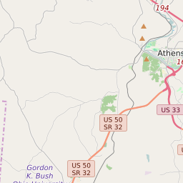
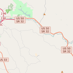
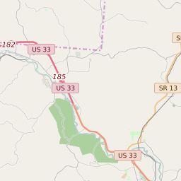
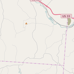
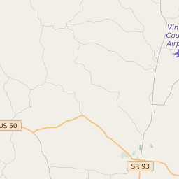
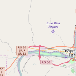
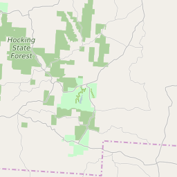
Map of ZIP Code 45732 Precinct Level Results for the 2020 Presidential Election
D 80-100% |
D 70-80% |
D 60-70% |
D 45-60% |
R 45-60% |
R 60-70% |
R 70-80% |
R 80-100% |
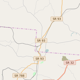
List of ZIP Code 45732 Precinct Level Results for the 2020 Presidential Election | ||||||||
|---|---|---|---|---|---|---|---|---|
| Map Index | Precinct | City/Town | ZIP Code | Joe Biden Democrat | Donald Trump Republican | Jo Jorgensen Libertarian | ||
| AMES TOWNSHIP | 45732 | 342 (57.58%) | 239 (40.24%) | 10 (1.68%) | ||||
| CARBON HILL | Buchtel | 43111 | 126 (31.98%) | 260 (65.99%) | 4 (1.02%) | |||
| CORNING/RENDVILLE/MONROE | Corning | 45732 | 144 (25.35%) | 419 (73.77%) | 3 (0.53%) | |||
| GLOUSTER VILLAGE | Glouster | 45732 | 270 (44.55%) | 326 (53.8%) | 4 (0.66%) | |||
| HOMER/UNION | 43787 | 233 (30.3%) | 523 (68.01%) | 11 (1.43%) | ||||
| JACKSONVILLE | Jacksonville | 45732 | 96 (48.73%) | 100 (50.76%) | 1 (0.51%) | |||
| MILLFIELD | Millfield | 45732 | 207 (45.2%) | 240 (52.4%) | 3 (0.66%) | |||
| MURRAY CITY | Murray City | 45764 | 77 (39.09%) | 117 (59.39%) | 3 (1.52%) | |||
| NEW STRAITSVILLE/COAL | New Straitsville | 43782 | 94 (25.97%) | 266 (73.48%) | 1 (0.28%) | |||
| TRIMBLE TOWNSHIP | 45732 | 310 (38.8%) | 480 (60.08%) | 6 (0.75%) | ||||
| TRIMBLE VILLAGE | Trimble | 45732 | 49 (40.16%) | 73 (59.84%) | 0 (0%) | |||
| YORK TOWNSHIP | 45701 | 336 (38.84%) | 523 (60.46%) | 4 (0.46%) | ||||