List of Neighborhoods in Miami, Florida |
|---|
| Map Key | Neighborhood Name |
|---|
| 36th Street Strip |
| 79th Street |
| Allapattah Industrial District |
| Auburndale |
| Bay Heights |
| Bayfront |
|
| Baypoint |
| Bayside |
| Belle Island |
| Belle Meade |
| Belle Meade West |
|
| Bicentennial Park |
| Bird Grove East |
| Bird Grove West |
| Biscayne Island |
| Biscayne Plaza |
|
| Brentwood |
| Brickell Business District |
| Brickell Key |
| Brickell Residential District |
| Brickell Village |
| Buena Vista Heights |
| Buena Vista West |
| CBD |
| Citrus Grove |
| Civic Center |
| Coral Gate |
| Culmer |
| Curtis Park |
| Design District |
| Douglas Park |
| East Grove |
| East Little Havana |
| Edgewater |
| Edison |
| Fair Isle |
| Fashion District |
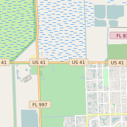
| Flagami |
| Flora Park |
| Government Center |
| Grove Center |
| Hadley Park |
| Haynesworth |
| Highland Park |
| Historic Buena Vista East |
| King Heights |
| La Pastorita |
| Latin Quarter |
| Le Jeune Gardens |
| Legion Park |
| Lemon City-Little Haiti |
| Liberty Square |
| Little Managua |
| Little River Central |
| Little River Gardens |
| Little River Industrial District |
| Lummus Park |
| Magnolia Park |
| MDCC |
| Media Art Entertainment |
| Melrose |
| Miami Avenue |
| Midtown |
| Morningside |
| North Grapeland Heights |
| North Grove |
| North Sewell Park |
| Northeast Overtown |
| Northwestern Estates |
| Oakland Grove |
| Old San Juan |
| Omni-PAC |
| Orange Bowl |
| Orchard Villa |
| Palm Bay |
| Palm Grove |
| Parkdale North |
| Parkdale South |
| Parkwest |
| Pelican Harbor |
| Port of Miami |
| Rainbow Village |
| Riverfront |
| Roads |
| San Marco Island |
| Santa Clara |
| Shenandoah North |
| Shenandoah South |
| Shorecrest |
| Silver Bluff |
| South Grapeland Heights |
| South Grove |
| South Grove Bayside |
| South Sewell Park |
| Southeast Overtown |
| Spring Garden |
| Town Park |
| Virginia Key |
| Vizcaya |
| Watson Island |
| West Brickell |
| West Grapeland Heights |
| West Grove |
| Wynwood Industrial District |