ZIP Data and Maps
Blog
About
Data and Maps
US ZIP Codes
ZIP Code Tools
Canada Postal Codes
Area Codes
Politics
POI Data
Regional Market Areas
Neighborhoods
Economics
Counties
Places
Schools
Home
Neighborhoods
Neighborhoods in Ashland
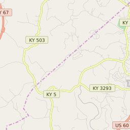
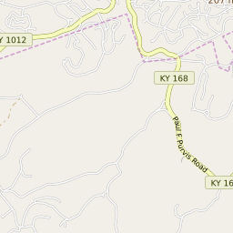
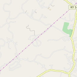
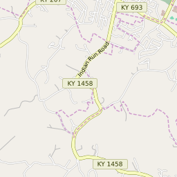
Ashland, Kentucky Neighborhoods
Map of Neighborhoods in Ashland, Kentucky
+
−
Ashland Border
Leaflet
|
©Zipdatamaps
©OpenStreetMap Contributors
Share:
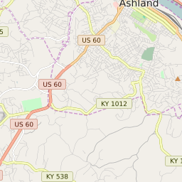
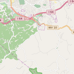
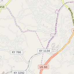
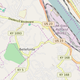
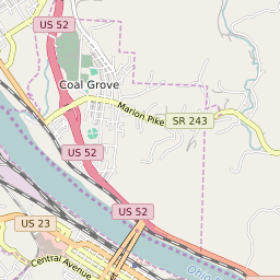
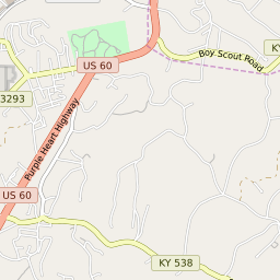
List of Neighborhoods in Ashland, Kentucky
Map Key
Neighborhood Name
13th Street - Boy Scout Road
Ashland City Center
Central Avenue - 29th Street
Normal
Oakview - Blackburn
Valley View
Winslow
Related Maps and Pages:
Ashland ZIP Code Map
Ashland Average Adjusted Gross Income ZIP Code Map
Ashland Median Household Income ZIP Code Map
Kentucky ZIP Code Map
About
Contact
Terms
Privacy
ZIP Code Blog
Twitter
Facebook
E-mail
2025 zipdatamaps.com