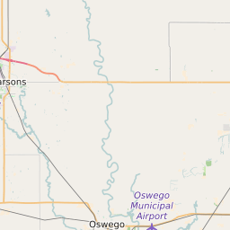
Oswego Unified School District 504 Data and Boundary Map
Oswego Unified School District 504 Data
| District Name | Oswego Unified School District 504 |
| State | Kansas |
| County | Labette County |
| Statistical Area | Parsons, KS |
| Total Students (2021) | 446 |
| District Growth Rate (2017-21) | -3.2% |
| Majority Race/Ethnicty | White (84.8%) |
| Free/Reduced Lunch Program | 62.56% |
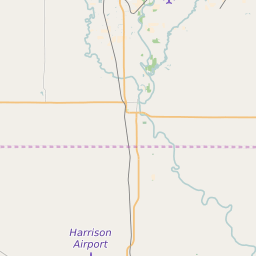
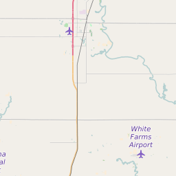
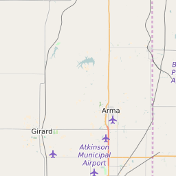
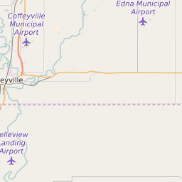
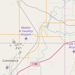
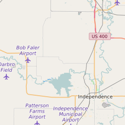
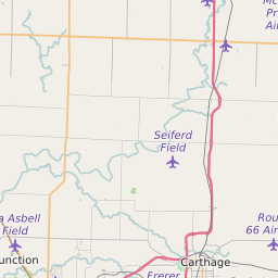
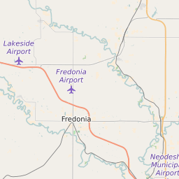
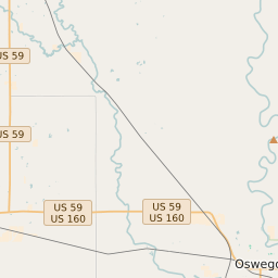
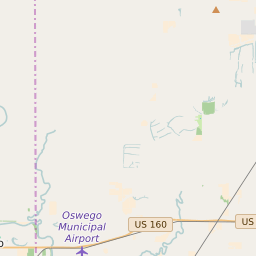
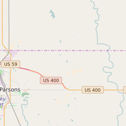
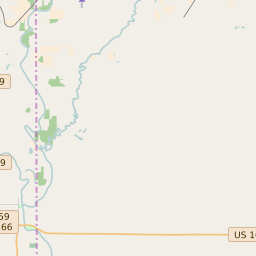
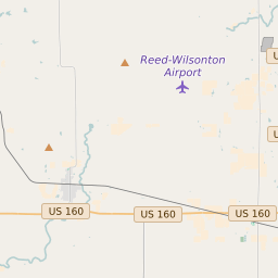
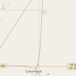
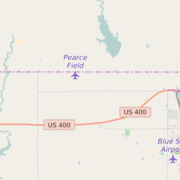
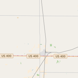
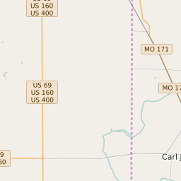
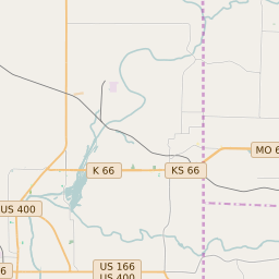
Oswego Unified School District 504 Boundary Map
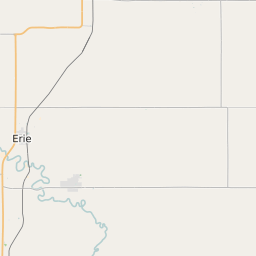
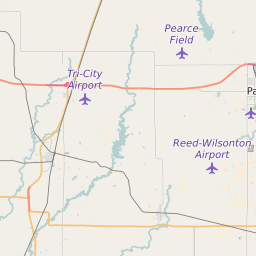
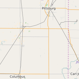
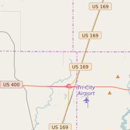
Oswego Unified School District 504 Attendance Area Maps
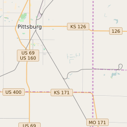
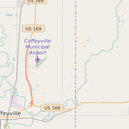
Oswego Unified School District 504 Related Maps
- Oswego Unified School District 504 Elementary School Free/Reduced Lunch Program Map
- Oswego Unified School District 504 Elementary School Race/Ethnicity Map
- Oswego Unified School District 504 Elementary School Title I Status Map
- Oswego Unified School District 504 High School Free/Reduced Lunch Program Map
- Oswego Unified School District 504 High School Race/Ethnicity Map
- Oswego Unified School District 504 High School Title I Status Map