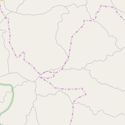
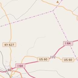
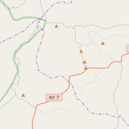
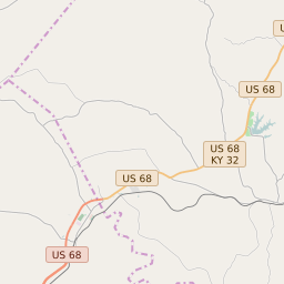
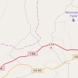
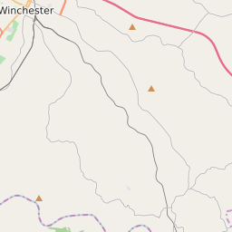
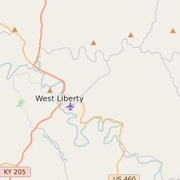
Bath County School District Data and Boundary Map
Bath County School District Data
| District Name | Bath County School District |
| State | Kentucky |
| County | Bath County |
| Statistical Area | Mount Sterling, KY |
| Total Students (2021) | 1982 |
| District Growth Rate (2017-21) | -4.5% |
| Majority Race/Ethnicty | White (94.2%) |
| Free/Reduced Lunch Program | 66.04% |
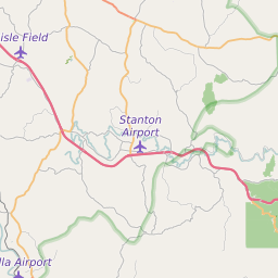
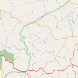
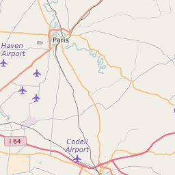
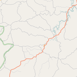
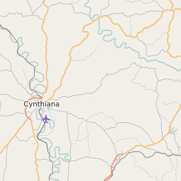
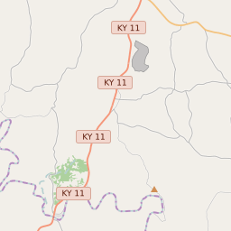
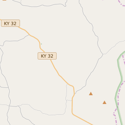
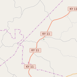
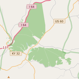
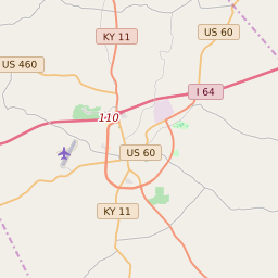
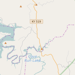
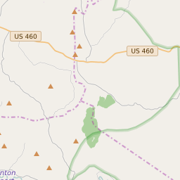
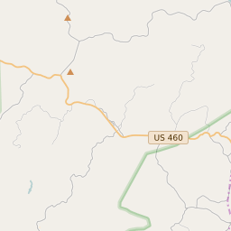
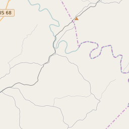
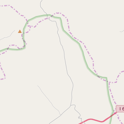
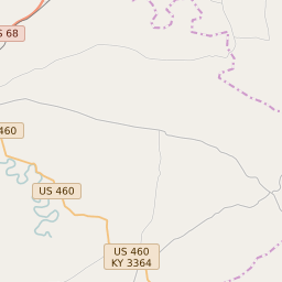
Bath County School District Boundary Map
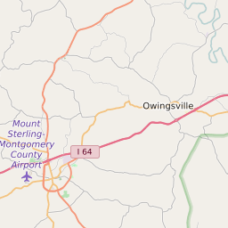
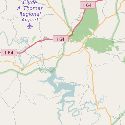
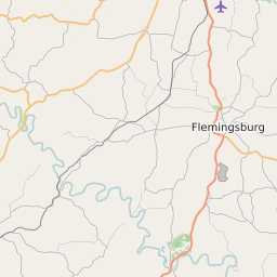
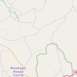
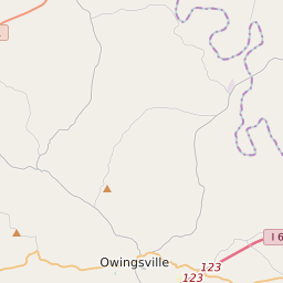
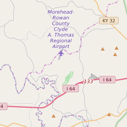
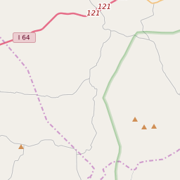
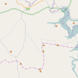
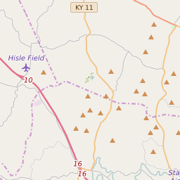

Bath County School District Attendance Area Maps
Bath County School District Related Maps
- Bath County School District Elementary School Free/Reduced Lunch Program Map
- Bath County School District Elementary School Race/Ethnicity Map
- Bath County School District Elementary School Title I Status Map
- Bath County School District Middle School Free/Reduced Lunch Program Map
- Bath County School District Middle School Race/Ethnicity Map
- Bath County School District Middle School Title I Status Map
- Bath County School District High School Free/Reduced Lunch Program Map
- Bath County School District High School Race/Ethnicity Map
- Bath County School District High School Title I Status Map