Walpole School District Data and Boundary Map
Walpole School District Data
| District Name | Walpole School District |
| State | Massachusetts |
| County | Norfolk County |
| Statistical Area | Boston-Cambridge-Newton, MA-NH |
| Cities/Towns | |
| Total Students (2021) | 3655 |
| District Growth Rate (2017-21) | -5.2% |
| Majority Race/Ethnicty | White (79.8%) |
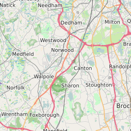
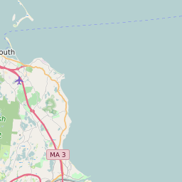
Walpole School District Boundary Map
Walpole School District Attendance Area Maps
Walpole School District Related Maps
- Walpole School District Elementary School Free/Reduced Lunch Program Map
- Walpole School District Elementary School Race/Ethnicity Map
- Walpole School District Elementary School Title I Status Map
- Walpole School District Middle School Free/Reduced Lunch Program Map
- Walpole School District Middle School Race/Ethnicity Map
- Walpole School District Middle School Title I Status Map
- Walpole School District High School Free/Reduced Lunch Program Map
- Walpole School District High School Race/Ethnicity Map
- Walpole School District High School Title I Status Map