ZipDataMaps
Blog
About
Data and Maps
US ZIP Codes
ZIP Code Tools
Canada Postal Codes
Area Codes
Politics
POI Data
Regional Market Areas
Neighborhoods
Economics
Counties
Places
Schools
Home
Schools
Ohio School Districts
New Albany-Plain Local School District
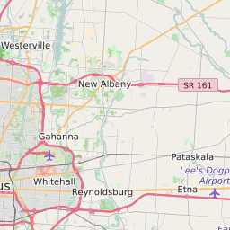
New Albany-Plain Local School District Data and Boundary Map
New Albany-Plain Local School District Data
District Name
New Albany-Plain Local School District
State
Ohio
County
Franklin County
Statistical Area
Columbus, OH
Total Students (2021)
5043
District
Growth Rate (2017-21)
4.2%
Majority
Race/Ethnicty
White (64.5%)
New Albany-Plain Local School District Boundary Map
List of Cities/Towns in New Albany-Plain Local School District
New Albany
Columbus
Plain Township (Franklin County)
Blendon Township
List of ZIP Codes in New Albany-Plain Local School District
43230
43081
43054
43031
';
About
Contact
Terms
Privacy
ZIP Code Blog
Twitter
Facebook
E-mail
2025 zipdatamaps.com