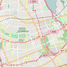
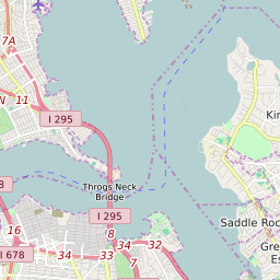
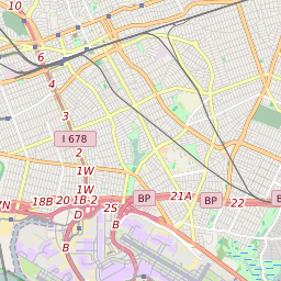
Map of NEW YORK CITY GEOGRAPHIC DISTRICT #26 Elementary School Free and Reduced Lunch Program Participation
< 20% |
20 - 40% |
40 - 60% |
60 - 80% |
> 80% |
No Data |
Click on the map for more information about each school boundary. Add City/Town and County Boundaries to the map using the icon in the upper right corner of the map.
Change Map:
List of Elementary Schools in NEW YORK CITY GEOGRAPHIC DISTRICT #26 New York
| Map Key | School Name | ZIP Code | City | Free/Reduced Lunch Program Participation | ||
|---|---|---|---|---|---|---|
| PS 133 Queens School | 11426 | Bellerose | 46.71% | |||
| PS 159 | 11361 | BAYSIDE | 52.40% | |||
| PS 162 John Golden School | 11361 | BAYSIDE | 63.39% | |||
| PS 173 Fresh Meadows School | 11365 | FLUSHING | 54.17% | |||
| PS 18 Winchester School | 11427 | QUEENS VILLAGE | 61.56% | |||
| PS 186 Castlewood School | 11426 | Bellerose | 33.60% | |||
| PS 188 Kingsbury School | 11364 | FLUSHING | 25.66% | |||
| PS 191 Mayflower School | 11001 | Floral Park | 65.82% | |||
| PS 203 Oakland Gardens School | 11364 | BAYSIDE | 37.39% | |||
| PS 205 Alexander Graham Bell School | 11361 | BAYSIDE | 31.90% | |||
| PS 213 The Carl Ullman School | 11364 | BAYSIDE | 50.80% | |||
| PS 221 The North Hills School | 11362 | LITTLE NECK | 40.72% | |||
| PS 26 Rufus King School | 11365 | FLUSHING | 60.50% | |||
| PS 31 Bayside School | 11361 | BAYSIDE | 61.69% | |||
| PS 376 | 11364 | FLUSHING | 53.33% | |||
| PS 41 Crocheron School | 11361 | BAYSIDE | 38.24% | |||
| PS 46 Alley Pond School | 11364 | BAYSIDE | 43.70% | |||
| PS 94 David D. Porter School | 11363 | LITTLE NECK | 49.84% | |||
| PS 98 The Douglaston School | 11363 | DOUGLASTON | 22.81% | |||
| PS/IS 178 Holliswood School | 11423 | JAMAICA | 40.58% | |||
| The James J. Ambrose School | 11004 | Floral Park | 42.54% |


