ZipDataMaps
Blog
About
Data and Maps
US ZIP Codes
ZIP Code Tools
Canada Postal Codes
Area Codes
Politics
POI Data
Regional Market Areas
Neighborhoods
Economics
Counties
Places
Schools
Home
Schools
Derry Area School District
Derry Area School District Elementary School Race and Ethnicity
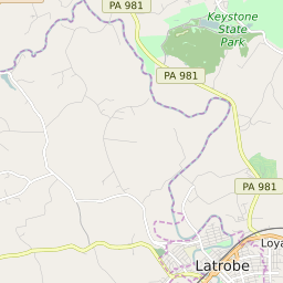
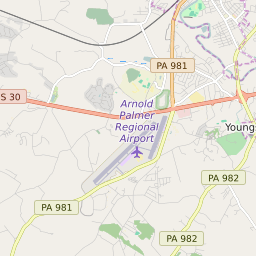
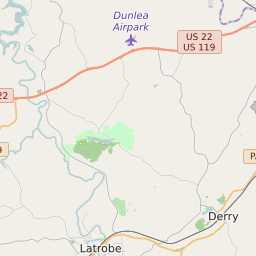
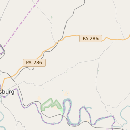
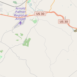
Map of Derry Area School District Elementary School Race and Ethnicity
Related
List
White
Black
Asian
Hispanic
Native American
Hawaiian/Pacific Islander
No Data
Click on the map for more information about each school boundary. Add City/Town and County Boundaries to the map using the icon in the upper right corner of the map.
Share:
Change Map:
Map of Derry Area School District Middle School Majority Race/Ethnicity
Map of Derry Area School District High School Majority Race/Ethnicity
List of Elementary Schools in Derry Area School District Pennsylvania
Map Key
School Name
ZIP Code
City
Majority Race/Ethnicity
Grandview Elementary School
15627
Derry
White: 93%
Related Maps:
Map of Derry Area School District Elementary School Attendance Zones
Map of Derry Area School District Middle School Attendance Zones
Map of Derry Area School District High School Attendance Zones
Map of Derry Area School District Elementary School Free/Reduced Lunch Program Participation
Map of Derry Area School District Middle School Free/Reduced Lunch Program Participation
Map of Derry Area School District High School Free/Reduced Lunch Program Participation
Map of Derry Area School District Elementary Schools Title 1 Status
Map of Derry Area School District Middle Schools Title 1 Status
Map of Derry Area School District High Schools Title 1 Status
Most Popular ZIP Code Searches in Pennsylvania
19124
19120
17603
19111
19143
19446
19134
19149
19020
17601
15601
19320
17331
19140
19104
19067
19382
18102
19335
19380
19148
17602
15301
18103
19464
19144
15642
18104
19139
17543
18042
15237
19131
19403
19145
15317
17701
16801
19460
15108
About
Contact
Terms
Privacy
ZIP Code Blog
Twitter
Facebook
E-mail
2024 zipdatamaps.com