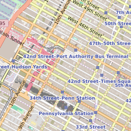
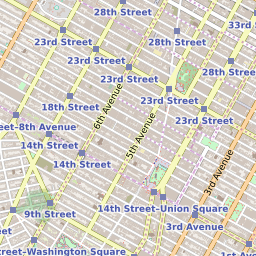
ZIP Code 10118 Quick Stats
| ZIP Code Name | New York |
| Organization | the Empire State Building |
| Primary County | New York County |
| ZIP Code Type | Standard |
| Current Time | 03:19:59 PM |
10118 Geography
| Coordinates | 40.74839020,-73.98461151 |
| Adjacent ZIP Codes | |
| Neighborhoods in 10118 | |
| Region | Metro New York City |
| Metropolitan/Micropolitan Stat Area | New York-Newark-Jersey City, NY-NJ-PA |
| Time Zone | Eastern Daylight Time |
| IANA Timezone | America/New_York |
10118 Schools
| School Districts in 10118 | |
| Elementary Schools in 10118 | |
| Middle Schools in 10118 |


