ZIP Code 11556 Quick Stats
| ZIP Code Name | Uniondale |
| Primary County | Nassau County |
| ZIP Code Type | Standard |
| Area Code(s) | 363 / 516 |
| Current Time | 01:19:14 AM |

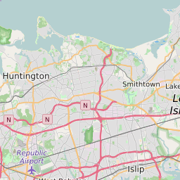


11556 Geography
| Coordinates | 40.71965790,-73.58389282 |
| Adjacent ZIP Codes | |
| Cities/Towns in 11556 | |
| Region | Metro New York City |
| Metropolitan/Micropolitan Stat Area | New York-Newark-Jersey City, NY-NJ-PA |
| Time Zone | Eastern Standard Time |
| IANA Timezone | America/New_York |
| Area | 0.05289078 Square Miles |
11556 Schools
| School Districts in 11556 |