ZIP Code 12222 Quick Stats
| ZIP Code Name | Albany |
| Organization | SUNY Albany |
| Primary County | Albany County |
| ZIP Code Type | Unique |
| Population (2022) | 6,358 |
| Area Code(s) | 518 / 838 |
| Current Time | EST |

12222 Demographics
The majority race/ethnicity residing in 12222 is White. The current unemployment level in 12222 is 4.2%.
| Population | 6,358 |
| Population Growth Rate | 8.08% |
| Population Density | 13,799 People per Square Mile |
| Current Unemployment Rate (January 2025) | 4.2% |
| Majority Race/Ethnicty | White - 56.65% |
12222 Race/Ethnicty Breakdown
| Race/Ethnicty | Total | Percentage |
|---|---|---|
| White | 4,099 | 56.57% |
| Black | 1,529 | 21.1% |
| Hispanic | 1,246 | 17.2% |
| Asian | 362 | 5% |
| Native American | 0 | 0% |
| Hawaiian/Pac. Islander | 10 | 0.14% |
12222 Educational Attainment Levels
| Highest Education Level Attained | Total | Percentage |
|---|---|---|
| Less Than 1 Year of College | 0 | 0% |
| Bachelor Degree | 7 | 8.86% |
| High School Diploma | 21 | 26.58% |
| No High School Diploma | 35 | 44.3% |
| GED or Alternate | 0 | 0% |
| 1 or More Years of College | 16 | 20.25% |
| Associates Degree | 0 | 0% |
| Masters Degree | 0 | 0% |
| Professional Degree | 0 | 0% |
| Doctorate Degree | 0 | 0% |
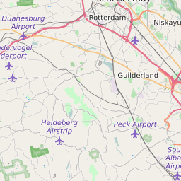
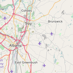
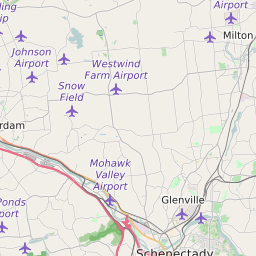
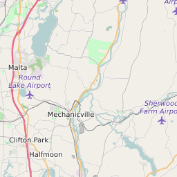
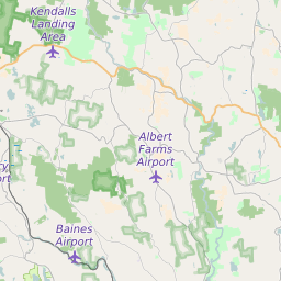
12222 Geography
| Coordinates | 42.68986130,-73.82067108 |
| Adjacent ZIP Codes | |
| Neighborhoods in 12222 | |
| Region | Albany-Schenectady-Troy Area |
| Metropolitan/Micropolitan Stat Area | Albany-Schenectady-Troy, NY |
| Time Zone | Eastern Standard Time |
| IANA Timezone | America/New_York |
| Area | 0.46074665 Square Miles |
12222 Schools
| School Districts in 12222 |