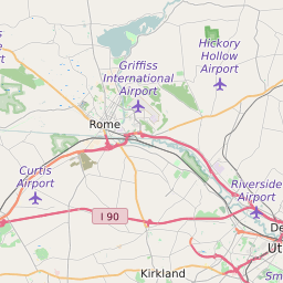
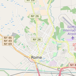
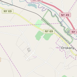
ZIP Code 13441 Quick Stats
| ZIP Code Name | Rome |
| Primary County | Oneida County |
| ZIP Code Type | Standard |
| Population (2022) | 222 |
| Area Code(s) | 315 / 680 |
| Current Time | 01:19:13 AM |
13441 Demographics
The majority race/ethnicity residing in 13441 is White. The majority race/ethnicity attending public schools in 13441 is White. The current unemployment level in 13441 is 4.2%.
| Population | 222 |
| Population Growth Rate | 171.19% |
| Population Density | 56 People per Square Mile |
| Average Adjusted Gross Income (2021) | $162,450 |
| Current Unemployment Rate (January 2025) | 4.2% |
| Majority Race/Ethnicty | White - 50.00% |
| Public School Majority Race/Ethnicty | White - 78.94% |
13441 Race/Ethnicty Breakdown
| Race/Ethnicty | Total | Percentage |
|---|---|---|
| White | 80 | 50% |
| Black | 40 | 25% |
| Hispanic | 40 | 25% |
| Asian | 0 | 0% |
| Native American | 0 | 0% |
| Hawaiian/Pac. Islander | 0 | 0% |
13441 Public School Race/Ethnicty Breakdown
| Race/Ethnicty | Total | Percentage |
|---|---|---|
| White | 1,226 | 80.13% |
| Black | 158 | 10.33% |
| Hispanic | 118 | 7.71% |
| Asian | 23 | 1.5% |
| Native American | 2 | 0.13% |
| Hawaiian/Pac. Islander | 3 | 0.2% |
13441 Geography
| Coordinates | 43.22356796,-75.40756989 |
| Adjacent ZIP Codes | |
| Region | Syracuse Area |
| Metropolitan/Micropolitan Stat Area | Utica-Rome, NY |
| Time Zone | Eastern Standard Time |
| IANA Timezone | America/New_York |
| Area | 4 Square Miles |
13441 Schools
| School Districts in 13441 |
13441 Weather and Climate Data
| Plant Hardiness Zone | Zone 5a: -20F to -15F | ||||||||||||||||||||||||||||||||||||||||||||||||||||||||||||||||||||||
| Average First Frost Date | October 1 - 10 | ||||||||||||||||||||||||||||||||||||||||||||||||||||||||||||||||||||||
| Average Last Frost Date | May 1 - 10 | ||||||||||||||||||||||||||||||||||||||||||||||||||||||||||||||||||||||
| Koppen-Geiger Climate Zone | Dfb - Humid Continental Mild Summer, Wet All Year | ||||||||||||||||||||||||||||||||||||||||||||||||||||||||||||||||||||||
| Ecoregion | 83f - Mohawk Valley | ||||||||||||||||||||||||||||||||||||||||||||||||||||||||||||||||||||||
| |||||||||||||||||||||||||||||||||||||||||||||||||||||||||||||||||||||||


