ZIP Code 19710 Quick Stats
| ZIP Code Name | Montchanin |
| Primary County | New Castle County |
| ZIP Code Type | PO Box |
| Population (2022) | 26 |
| Area Code(s) | 302 |
| Current Time | EST |
19710 Demographics
The majority race/ethnicity residing in 19710 is White. The current unemployment level in 19710 is 3.1%.
| Population | 26 |
| Population Growth Rate | 0.00% |
| Population Density | 262 People per Square Mile |
| Current Unemployment Rate (January 2025) | 3.1% |
| Majority Race/Ethnicty | White - 100.00% |
19710 Race/Ethnicty Breakdown
| Race/Ethnicty | Total | Percentage |
|---|---|---|
| White | 27 | 100% |
| Black | 0 | 0% |
| Hispanic | 0 | 0% |
| Asian | 0 | 0% |
| Native American | 0 | 0% |
| Hawaiian/Pac. Islander | 0 | 0% |
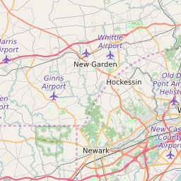
19710 Geography
| Coordinates | 39.79527664,-75.58221436 |
| Adjacent ZIP Codes | |
| Region | Metro Philadelphia |
| Metropolitan/Micropolitan Stat Area | Philadelphia-Camden-Wilmington, PA-NJ-DE-MD |
| Time Zone | Eastern Standard Time |
| IANA Timezone | America/New_York |
| Area | 0.09939456 Square Miles |
19710 Schools
| School Districts in 19710 | |
| Elementary Schools in 19710 | |
| Middle Schools in 19710 | |
| High Schools in 19710 |