ZIP Code 20052 Quick Stats
| ZIP Code Name | Washington |
| Organization | The George Washington University |
| Primary County | District of Columbia |
| ZIP Code Type | Unique |
| Population (2022) | 1,915 |
| Area Code(s) | 202 / 771 |
| Current Time | EDT |


20052 Demographics
The majority race/ethnicity residing in 20052 is White. The current unemployment level in 20052 is 5.0%.
| Population | 1,915 |
| Population Growth Rate | 0.00% |
| Population Density | 30,341 People per Square Mile |
| Total Households | 51 |
| Current Unemployment Rate (February 2025) | 5.0% |
| Majority Race/Ethnicty | White - 69.59% |
20052 Race/Ethnicty Breakdown
| Race/Ethnicty | Total | Percentage |
|---|---|---|
| White | 2,643 | 69.44% |
| Black | 358 | 9.41% |
| Hispanic | 435 | 11.43% |
| Asian | 346 | 9.09% |
| Native American | 16 | 0.42% |
| Hawaiian/Pac. Islander | 8 | 0.21% |
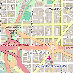
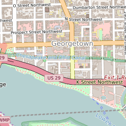
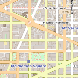
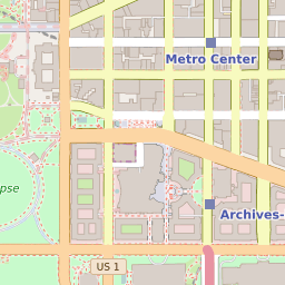
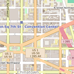
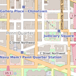
20052 Geography
| Coordinates | 38.89971161,-77.04853058 |
| Adjacent ZIP Codes | |
| Neighborhoods in 20052 | |
| Region | Metro DC |
| Metropolitan/Micropolitan Stat Area | Washington-Arlington-Alexandria, DC-VA-MD-WV |
| Time Zone | Eastern Daylight Time |
| IANA Timezone | America/New_York |
| Area | 0.06311591 Square Miles |
20052 Schools
| School Districts in 20052 | |
| Elementary Schools in 20052 | |
| High Schools in 20052 |