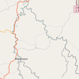
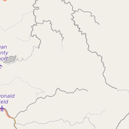
ZIP Code 25048 Quick Stats
| ZIP Code Name | Colcord |
| Primary County | Raleigh County |
| ZIP Code Type | Standard |
| Population (2022) | 187 |
| Area Code(s) | 304 / 681 |
| Current Time | 06:06:16 PM |
25048 Demographics
The majority race/ethnicity residing in 25048 is White. The current unemployment level in 25048 is 3.6%.
| Population | 187 |
| Population Growth Rate | 176.56% |
| Population Density | 76 People per Square Mile |
| Total Households | 13 |
| Current Unemployment Rate (December 2024) | 3.6% |
| Majority Race/Ethnicty | White - 97.18% |
25048 Race/Ethnicty Breakdown
| Race/Ethnicty | Total | Percentage |
|---|---|---|
| White | 172 | 97.18% |
| Black | 0 | 0% |
| Hispanic | 5 | 2.82% |
| Asian | 0 | 0% |
| Native American | 0 | 0% |
| Hawaiian/Pac. Islander | 0 | 0% |
25048 Geography
| Coordinates | 37.95509338,-81.43577576 |
| Adjacent ZIP Codes | |
| Cities/Towns in 25048 | |
| Region | Bluefield-Beckley-Oak Hill Area |
| Metropolitan/Micropolitan Stat Area | Beckley, WV |
| Time Zone | Eastern Standard Time |
| IANA Timezone | America/New_York |
| Area | 2 Square Miles |
25048 Schools
| School Districts in 25048 | |
| Elementary Schools in 25048 | |
| Middle Schools in 25048 | |
| High Schools in 25048 |
25048 Weather and Climate Data
| Plant Hardiness Zone | Zone 6a: -10F to -5F | ||||||||||||||||||||||||||||||||||||||||||||||||||||||||||||||||||||||
| Average First Frost Date | October 11 - 20 | ||||||||||||||||||||||||||||||||||||||||||||||||||||||||||||||||||||||
| Average Last Frost Date | May 1 - 10 | ||||||||||||||||||||||||||||||||||||||||||||||||||||||||||||||||||||||
| Koppen-Geiger Climate Zone | Cfa - Humid Subtropical Climate | ||||||||||||||||||||||||||||||||||||||||||||||||||||||||||||||||||||||
| Ecoregion | 69d - Dissected Appalachian Plateau | ||||||||||||||||||||||||||||||||||||||||||||||||||||||||||||||||||||||
| |||||||||||||||||||||||||||||||||||||||||||||||||||||||||||||||||||||||


