ZIP Code 76565 Quick Stats
| ZIP Code Name | Pottsville |
| Primary County | Hamilton County |
| ZIP Code Type | Standard |
| Population (2022) | 39 |
| Area Code(s) | 254 / 325 |
| Current Time | 03:03:20 PM |


76565 Demographics
The majority race/ethnicity residing in 76565 is White. The current unemployment level in 76565 is 4.2%.
| Population | 39 |
| Population Growth Rate | 59.72% |
| Population Density | 2 People per Square Mile |
| Total Households | 14 |
| Current Unemployment Rate (January 2025) | 4.2% |
| Majority Race/Ethnicty | White - 100.00% |
76565 Race/Ethnicty Breakdown
| Race/Ethnicty | Total | Percentage |
|---|---|---|
| White | 115 | 100% |
| Black | 0 | 0% |
| Hispanic | 0 | 0% |
| Asian | 0 | 0% |
| Native American | 0 | 0% |
| Hawaiian/Pac. Islander | 0 | 0% |
76565 Educational Attainment Levels
| Highest Education Level Attained | Total | Percentage |
|---|---|---|
| Less Than 1 Year of College | 0 | 0% |
| Bachelor Degree | 12 | 100% |
| High School Diploma | 0 | 0% |
| No High School Diploma | 0 | 0% |
| GED or Alternate | 0 | 0% |
| 1 or More Years of College | 0 | 0% |
| Associates Degree | 0 | 0% |
| Masters Degree | 0 | 0% |
| Professional Degree | 0 | 0% |
| Doctorate Degree | 0 | 0% |
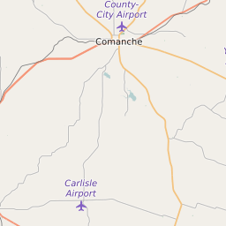
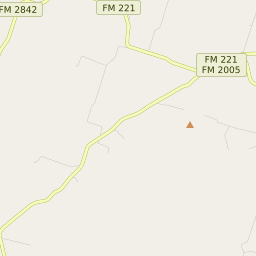
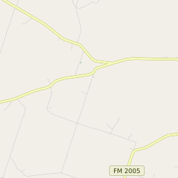
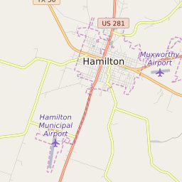
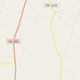
76565 Geography
| Coordinates | 31.65898323,-98.34512329 |
| Adjacent ZIP Codes | |
| Region | Waco-Temple Area |
| Time Zone | Central Standard Time |
| IANA Timezone | America/Chicago |
| Area | 20 Square Miles |
76565 Schools
| School Districts in 76565 | |
| Elementary Schools in 76565 | |
| Middle Schools in 76565 |
76565 Weather and Climate Data
| Plant Hardiness Zone | Zone 8a: 10F to 15F | ||||||||||||||||||||||||||||||||||||||||||||||||||||||||||||||||||||||
| Average First Frost Date | November 11 - 20 | ||||||||||||||||||||||||||||||||||||||||||||||||||||||||||||||||||||||
| Average Last Frost Date | March 11 - 20 | ||||||||||||||||||||||||||||||||||||||||||||||||||||||||||||||||||||||
| Koppen-Geiger Climate Zone | Cfa - Humid Subtropical Climate | ||||||||||||||||||||||||||||||||||||||||||||||||||||||||||||||||||||||
| Ecoregion | 29e - Limestone Cut Plain | ||||||||||||||||||||||||||||||||||||||||||||||||||||||||||||||||||||||
| |||||||||||||||||||||||||||||||||||||||||||||||||||||||||||||||||||||||