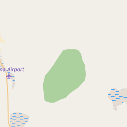
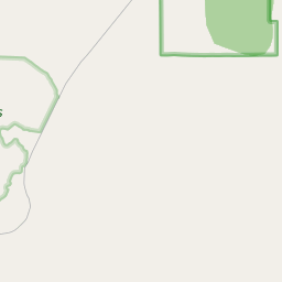
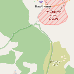
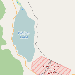
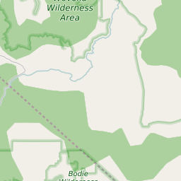
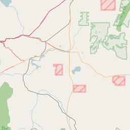
ZIP Code 89420 Quick Stats
| ZIP Code Name | Luning |
| Primary County | Mineral County |
| ZIP Code Type | Standard |
| Population (2022) | 114 |
| Area Code(s) | 775 |
| Current Time | 08:16:50 AM |


89420 Demographics
The majority race/ethnicity residing in 89420 is Hispanic. The current unemployment level in 89420 is 5.5%.
| Population | 114 |
| Population Growth Rate | 900.00% |
| Population Density | 0 People per Square Mile |
| Total Households | 35 |
| Current Unemployment Rate (January 2025) | 5.5% |
| Majority Race/Ethnicty | Hispanic - 100.00% |
89420 Race/Ethnicty Breakdown
| Race/Ethnicty | Total | Percentage |
|---|---|---|
| White | 0 | 0% |
| Black | 0 | 0% |
| Hispanic | 80 | 100% |
| Asian | 0 | 0% |
| Native American | 0 | 0% |
| Hawaiian/Pac. Islander | 0 | 0% |
89420 Educational Attainment Levels
| Highest Education Level Attained | Total | Percentage |
|---|---|---|
| Less Than 1 Year of College | 7 | 23.33% |
| Bachelor Degree | 0 | 0% |
| High School Diploma | 19 | 63.33% |
| No High School Diploma | 0 | 0% |
| GED or Alternate | 0 | 0% |
| 1 or More Years of College | 4 | 13.33% |
| Associates Degree | 0 | 0% |
| Masters Degree | 0 | 0% |
| Professional Degree | 0 | 0% |
| Doctorate Degree | 0 | 0% |
89420 Schools
| School Districts in 89420 |
89420 Weather and Climate Data
| Plant Hardiness Zone | Zone 7b: 5F to 10F | ||||||||||||||||||||||||||||||||||||||||||||||||||||||||||||||||||||||
| Average First Frost Date | October 11 - 20 | ||||||||||||||||||||||||||||||||||||||||||||||||||||||||||||||||||||||
| Average Last Frost Date | May 1 - 10 | ||||||||||||||||||||||||||||||||||||||||||||||||||||||||||||||||||||||
| Koppen-Geiger Climate Zone | BWk - Cold Desert Climate | ||||||||||||||||||||||||||||||||||||||||||||||||||||||||||||||||||||||
| Ecoregion | 13u - Tonopah Basin | ||||||||||||||||||||||||||||||||||||||||||||||||||||||||||||||||||||||
| |||||||||||||||||||||||||||||||||||||||||||||||||||||||||||||||||||||||