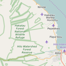
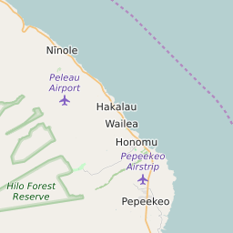
ZIP Code 96710 Quick Stats
| ZIP Code Name | Hakalau |
| Primary County | Hawaii County |
| ZIP Code Type | PO Box |
| Population (2022) | 267 |
| Area Code(s) | 808 |
| Current Time | HST |


96710 Demographics
The majority race/ethnicity residing in 96710 is White. The current unemployment level in 96710 is 2.8%.
| Population | 267 |
| Population Growth Rate | 0.00% |
| Population Density | 9 People per Square Mile |
| Total Households | 130 |
| Current Unemployment Rate (February 2025) | 2.8% |
| Majority Race/Ethnicty | White - 41.84% |
96710 Race/Ethnicty Breakdown
| Race/Ethnicty | Total | Percentage |
|---|---|---|
| White | 123 | 41.84% |
| Black | 0 | 0% |
| Hispanic | 84 | 28.57% |
| Asian | 87 | 29.59% |
| Native American | 0 | 0% |
| Hawaiian/Pac. Islander | 0 | 0% |
96710 Educational Attainment Levels
| Highest Education Level Attained | Total | Percentage |
|---|---|---|
| Less Than 1 Year of College | 0 | 0% |
| Bachelor Degree | 212 | 53.54% |
| High School Diploma | 38 | 9.6% |
| No High School Diploma | 0 | 0% |
| GED or Alternate | 0 | 0% |
| 1 or More Years of College | 96 | 24.24% |
| Associates Degree | 50 | 12.63% |
| Masters Degree | 0 | 0% |
| Professional Degree | 0 | 0% |
| Doctorate Degree | 0 | 0% |
96710 Schools
| School Districts in 96710 | |
| Elementary Schools in 96710 | |
| High Schools in 96710 |
96710 Weather and Climate Data
| Plant Hardiness Zone | Zone 12b: 55F to 60F |
| Average First Frost Date | Rare |
| Average Last Frost Date | Rare |
| Koppen-Geiger Climate Zone | Af - Tropical Rainforest |