Partisan Voting Index for Counties in New York
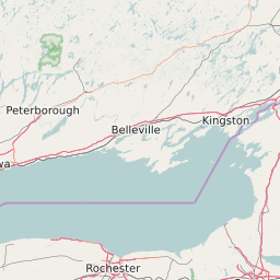
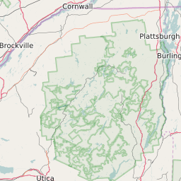
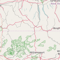
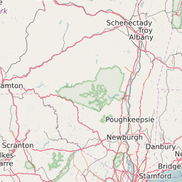
This Map Displays the Partisan Voting Index Value for each county in New York. The Partisan Voting Index (PVI) is a measurement of how strongly a county leans toward the Democratic or Republican Party. The PVI is calculated by taking the average percentage for the winning party in a county for the last two elections and subtracting that value from the national average for that party in the same two elections. The data is based on results from the 2024 and 2020 presidential election. Of the 62 Counties in New York The County with the highest Republican PVI is Wyoming County at +24. The County with the highest Democrat PVI is New York County at +34.
Map of Partisan Voting Index (PVI) for Counties in New York
Rep +20 | Rep. 15-19 | Rep. 10-14 | Rep. 5-9 | Rep. 1-4 | Even | Dem 1-4 | Dem 5-9 | Dem 10-14 | Dem 15-19 | Dem +20 |


List of All Counties in New York With Partisan Voting Index (2024 Presidential Election Results) | ||||
|---|---|---|---|---|
| Map Key | Name | Partisan Voting Index (2024) | ||
| Albany County | Democrat +14 | |||
| Allegany County | Republican +21 | |||
| Bronx County | Democrat +28 | |||
| Broome County | Even +0 | |||
| Cattaraugus County | Republican +17 | |||
| Cayuga County | Republican +6 | |||
| Chautauqua County | Republican +11 | |||
| Chemung County | Republican +9 | |||
| Chenango County | Republican +14 | |||
| Clinton County | Even +0 | |||
| Columbia County | Democrat +7 | |||
| Cortland County | Republican +3 | |||
| Delaware County | Republican +11 | |||
| Dutchess County | Democrat +3 | |||
| Erie County | Democrat +6 | |||
| Essex County | Democrat +1 | |||
| Franklin County | Republican +4 | |||
| Fulton County | Republican +18 | |||
| Genesee County | Republican +17 | |||
| Greene County | Republican +9 | |||
| Hamilton County | Republican +16 | |||
| Herkimer County | Republican +18 | |||
| Jefferson County | Republican +12 | |||
| Kings County | Democrat +24 | |||
| Lewis County | Republican +22 | |||
| Livingston County | Republican +11 | |||
| Madison County | Republican +7 | |||
| Monroe County | Democrat +9 | |||
| Montgomery County | Republican +14 | |||
| Nassau County | Even +0 | |||
| New York County | Democrat +34 | |||
| Niagara County | Republican +7 | |||
| Oneida County | Republican +10 | |||
| Onondaga County | Democrat +9 | |||
| Ontario County | Republican +1 | |||
| Orange County | Republican +3 | |||
| Orleans County | Republican +20 | |||
| Oswego County | Republican +12 | |||
| Otsego County | Republican +4 | |||
| Putnam County | Republican +7 | |||
| Queens County | Democrat +17 | |||
| Rensselaer County | Democrat +1 | |||
| Richmond County | Republican +12 | |||
| Rockland County | Republican +4 | |||
| Saint Lawrence County | Republican +8 | |||
| Saratoga County | Democrat +1 | |||
| Schenectady County | Democrat +6 | |||
| Schoharie County | Republican +16 | |||
| Schuyler County | Republican +11 | |||
| Seneca County | Republican +6 | |||
| Steuben County | Republican +16 | |||
| Suffolk County | Republican +4 | |||
| Sullivan County | Republican +7 | |||
| Tioga County | Republican +12 | |||
| Tompkins County | Democrat +24 | |||
| Ulster County | Democrat +9 | |||
| Warren County | Republican +2 | |||
| Washington County | Republican +10 | |||
| Wayne County | Republican +12 | |||
| Westchester County | Democrat +16 | |||
| Wyoming County | Republican +24 | |||
| Yates County | Republican +10 | |||