

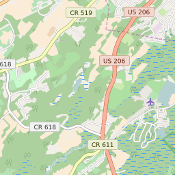


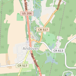


Andover New Jersey Profile
| Place Name | Andover |
| Place Type | Borough |
| ZIP Code(s) | 07821 |
| County | Sussex County |
| Area Code(s) | 862,973 |
| Timezone | Eastern Daylight Time (EDT) |
| Population (2022) | 816 |
| Population Growth Rate (2010-19) | -1.82% |
| Majority Ethnicity | White 95.6% |
| Metro/Micro Stats Area | New York-Newark-Jersey City, NY-NJ-PA |
| US Congressional District(s) | New Jersey 5th |
| State Assembly Districts | 24 |
| State Senate Districts | 24 |
Andover Race/Ethnicity Data
| Race/Ethnicy | Percentage of Population (2021) |
|---|---|
| White | 95.6% |
| African American | 1.99% |
| Hispanic | 0% |
| Asian | 0.99% |
| Native American | 0% |
| Hawaiin/Pacific Islander | 1.42% |