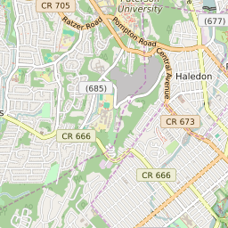


Haledon New Jersey Profile
| Place Name | Haledon |
| Place Type | Borough |
| ZIP Code(s) | 07508 |
| County | Passaic County |
| Area Code(s) | 862,973 |
| Timezone | Eastern Daylight Time (EDT) |
| Population (2022) | 8,375 |
| Population Growth Rate (2010-19) | 8.82% |
| Majority Ethnicity | White 44.94% |
| Metro/Micro Stats Area | New York-Newark-Jersey City, NY-NJ-PA |
| US Congressional District(s) | New Jersey 9th |
| State Assembly Districts | 35 |
| State Senate Districts | 35 |
Haledon Race/Ethnicity Data
| Race/Ethnicy | Percentage of Population (2021) |
|---|---|
| White | 44.94% |
| African American | 8.54% |
| Hispanic | 0.73% |
| Asian | 3.06% |
| Native American | 0% |
| Hawaiin/Pacific Islander | 42.72% |