


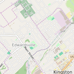
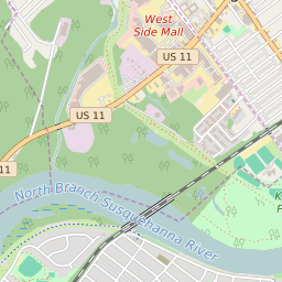
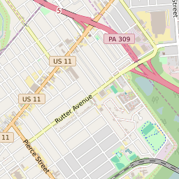
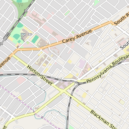
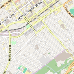

Edwardsville Pennsylvania Profile
| Place Name | Edwardsville |
| Place Type | Borough |
| ZIP Code(s) | 18651 18704 |
| County | Luzerne County |
| Area Code(s) | 272,570 |
| Timezone | Eastern Daylight Time (EDT) |
| Population (2022) | 4,802 |
| Population Growth Rate (2010-19) | 2.35% |
| Majority Ethnicity | White 74.03% |
| Metro/Micro Stats Area | Scranton--Wilkes-Barre, PA |
| US Congressional District(s) | Pennsylvania 11th |
| State House Districts | 120 |
| State Senate Districts | 14 |
Edwardsville Race/Ethnicity Data
| Race/Ethnicy | Percentage of Population (2021) |
|---|---|
| White | 74.03% |
| African American | 10.26% |
| Hispanic | 0.32% |
| Asian | 0.48% |
| Native American | 0% |
| Hawaiin/Pacific Islander | 14.91% |