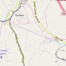


Hunker Pennsylvania Profile
| Place Name | Hunker |
| Place Type | Borough |
| ZIP Code(s) | 15639 |
| County | Westmoreland County |
| Area Code(s) | 724,878 |
| Timezone | Eastern Standard Time (EST) |
| Population (2022) | 291 |
| Population Growth Rate (2010-19) | 6.53% |
| Majority Ethnicity | White 97.74% |
| Metro/Micro Stats Area | Pittsburgh, PA |
| US Congressional District(s) | Pennsylvania 18th |
| State House Districts | 57 |
| State Senate Districts | 39 |
Hunker Race/Ethnicity Data
| Race/Ethnicy | Percentage of Population (2021) |
|---|---|
| White | 97.74% |
| African American | 0% |
| Hispanic | 0% |
| Asian | 0.28% |
| Native American | 0% |
| Hawaiin/Pacific Islander | 1.98% |