


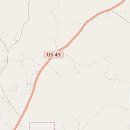


Leroy Alabama Profile
| Place Name | Leroy |
| Place Type | Census Designated Place |
| ZIP Code(s) | 36548 |
| County | Washington County |
| Area Code(s) | 251 |
| Timezone | Central Standard Time (CST) |
| Population (2022) | 900 |
| Population Growth Rate (2010-19) | -15.92% |
| Majority Ethnicity | White 65.43% |
| Metro/Micro Stats Area | Mobile, AL |
| US Congressional District(s) | Alabama 1st |
| State House Districts | 65,68 |
| State Senate Districts | 22,23 |
Leroy Race/Ethnicity Data
| Race/Ethnicy | Percentage of Population (2021) |
|---|---|
| White | 65.43% |
| African American | 33.29% |
| Hispanic | 0% |
| Asian | 0% |
| Native American | 0% |
| Hawaiin/Pacific Islander | 1.27% |