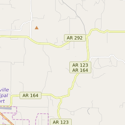

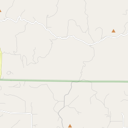
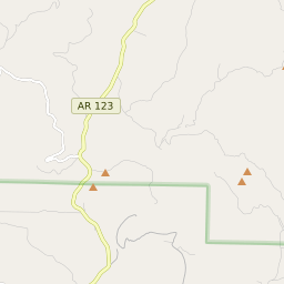
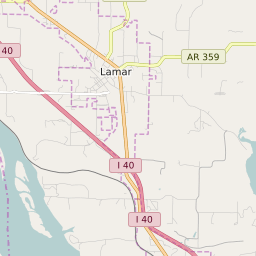


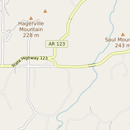

Hagarville Arkansas Profile
| Place Name | Hagarville |
| Place Type | Census Designated Place |
| ZIP Code(s) | 72839 |
| County | Johnson County |
| Area Code(s) | 479 |
| Timezone | Central Daylight Time (CDT) |
| Population (2022) | 76 |
| Population Growth Rate (2010-19) | 10.08% |
| Majority Ethnicity | White 100% |
| US Congressional District(s) | Arkansas 4th |
| State House Districts | 69 |
| State Senate Districts | 6 |
Hagarville Race/Ethnicity Data
| Race/Ethnicy | Percentage of Population (2021) |
|---|---|
| White | 100% |
| African American | 0% |
| Hispanic | 0% |
| Asian | 0% |
| Native American | 0% |
| Hawaiin/Pacific Islander | 0% |