

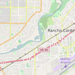


Orangevale California Profile
| Place Name | Orangevale |
| Place Type | Census Designated Place |
| ZIP Code(s) | 95662 |
| County | Sacramento County |
| Area Code(s) | 279,916 |
| Timezone | Pacific Standard Time (PST) |
| Population (2022) | 33,829 |
| Population Growth Rate (2010-19) | 4.74% |
| Majority Ethnicity | White 81.33% |
| Metro/Micro Stats Area | Sacramento-Roseville-Folsom, CA |
| US Congressional District(s) | California 7th |
| State Assembly Districts | 6 |
| State Senate Districts | 1 |
Orangevale Race/Ethnicity Data
| Race/Ethnicy | Percentage of Population (2021) |
|---|---|
| White | 81.33% |
| African American | 1.33% |
| Hispanic | 0.9% |
| Asian | 2.73% |
| Native American | 0.31% |
| Hawaiin/Pacific Islander | 13.4% |