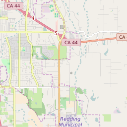
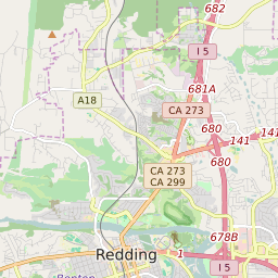

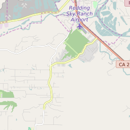


Palo Cedro California Profile
| Place Name | Palo Cedro |
| Place Type | Census Designated Place |
| ZIP Code(s) | 96073 |
| County | Shasta County |
| Area Code(s) | 530 |
| Timezone | Pacific Standard Time (PST) |
| Population (2022) | 1,599 |
| Population Growth Rate (2010-19) | 130.97% |
| Majority Ethnicity | White 94.86% |
| Metro/Micro Stats Area | Redding, CA |
| US Congressional District(s) | California 1st |
| State Assembly Districts | 1 |
| State Senate Districts | 1 |
Palo Cedro Race/Ethnicity Data
| Race/Ethnicy | Percentage of Population (2021) |
|---|---|
| White | 94.86% |
| African American | 0.78% |
| Hispanic | 2.1% |
| Asian | 0.78% |
| Native American | 0% |
| Hawaiin/Pacific Islander | 1.47% |