
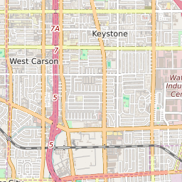
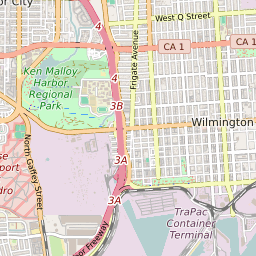
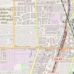
West Carson California Profile
| Place Name | West Carson |
| Place Type | Census Designated Place |
| ZIP Code(s) | 90501 90502 90710 90745 |
| County | Los Angeles County |
| Area Code(s) | 310,424 |
| Timezone | Pacific Standard Time (PST) |
| Population (2022) | 20,682 |
| Population Growth Rate (2010-19) | 5.40% |
| Majority Ethnicity | Hispanic 0.4% |
| Metro/Micro Stats Area | Los Angeles-Long Beach-Anaheim, CA |
| US Congressional District(s) | California 43rd |
| State Assembly Districts | 66 |
| State Senate Districts | 35 |
West Carson Race/Ethnicity Data
| Race/Ethnicy | Percentage of Population (2021) |
|---|---|
| White | 23.3% |
| African American | 9.6% |
| Hispanic | 0.4% |
| Asian | 32.77% |
| Native American | 0.13% |
| Hawaiin/Pacific Islander | 33.8% |