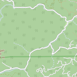
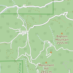
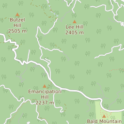
Glendale (Boulder County) Colorado Boundary Map

Glendale (Boulder County) Colorado Profile
| Place Name | Glendale (Boulder County) |
| Place Type | Census Designated Place |
| ZIP Code(s) | 80302 80455 |
| County | Boulder County |
| Area Code(s) | 303,720 |
| Timezone | Mountain Daylight Time (MDT) |
| Population (2022) | 53 |
| Population Growth Rate (2010-19) | -7.25% |
| Majority Ethnicity | White 77.91% |
| Metro/Micro Stats Area | Boulder, CO |
| US Congressional District(s) | Colorado 2nd |
| State House Districts | 13 |
| State Senate Districts | 18 |
Glendale (Boulder County) Race/Ethnicity Data
| Race/Ethnicy | Percentage of Population (2021) |
|---|---|
| White | 77.91% |
| African American | 0% |
| Hispanic | 0% |
| Asian | 22.09% |
| Native American | 0% |
| Hawaiin/Pacific Islander | 0% |