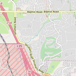


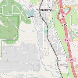


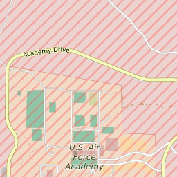

Gleneagle Colorado Profile
| Place Name | Gleneagle |
| Place Type | Census Designated Place |
| ZIP Code(s) | 80840 80921 |
| County | El Paso County |
| Area Code(s) | 719 |
| Timezone | Mountain Standard Time (MST) |
| Population (2022) | 6,881 |
| Population Growth Rate (2010-19) | 0.57% |
| Majority Ethnicity | White 86.83% |
| Metro/Micro Stats Area | Colorado Springs, CO |
| US Congressional District(s) | Colorado 5th |
| State House Districts | 19 |
| State Senate Districts | 9 |
Gleneagle Race/Ethnicity Data
| Race/Ethnicy | Percentage of Population (2021) |
|---|---|
| White | 86.83% |
| African American | 1.43% |
| Hispanic | 0.28% |
| Asian | 3.89% |
| Native American | 0% |
| Hawaiin/Pacific Islander | 7.57% |