


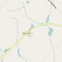


Empire Georgia Profile
| Place Name | Empire |
| Place Type | Census Designated Place |
| ZIP Code(s) | 31014 |
| County | Dodge County Bleckley County |
| Area Code(s) | 478 |
| Timezone | Eastern Daylight Time (EDT) |
| Population (2022) | 664 |
| Population Growth Rate (2010-19) | -18.83% |
| Majority Ethnicity | White 64.19% |
| US Congressional District(s) | Georgia 8th |
| State House Districts | 144,149 |
| State Senate Districts | 013,020 |
Empire Race/Ethnicity Data
| Race/Ethnicy | Percentage of Population (2021) |
|---|---|
| White | 64.19% |
| African American | 35.81% |
| Hispanic | 0% |
| Asian | 0% |
| Native American | 0% |
| Hawaiin/Pacific Islander | 0% |