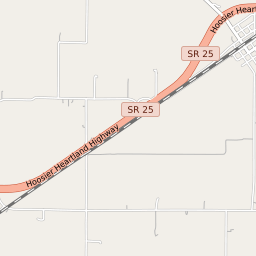


Rockfield Indiana Profile
| Place Name | Rockfield |
| Place Type | Census Designated Place |
| ZIP Code(s) | 46977 |
| County | Carroll County |
| Area Code(s) | 574 |
| Timezone | Eastern Daylight Time (EDT) |
| Population (2022) | 170 |
| Majority Ethnicity | White 83.86% |
| Metro/Micro Stats Area | Lafayette-West Lafayette, IN |
| US Congressional District(s) | Indiana 4th |
| State House Districts | 25 |
| State Senate Districts | 18 |
Rockfield Race/Ethnicity Data
| Race/Ethnicy | Percentage of Population (2021) |
|---|---|
| White | 83.86% |
| African American | 0% |
| Hispanic | 0% |
| Asian | 0% |
| Native American | 0% |
| Hawaiin/Pacific Islander | 16.14% |