


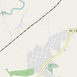


Vallonia Indiana Profile
| Place Name | Vallonia |
| Place Type | Census Designated Place |
| ZIP Code(s) | 47281 |
| County | Jackson County |
| Area Code(s) | 812,930 |
| Timezone | Eastern Daylight Time (EDT) |
| Population (2022) | 421 |
| Population Growth Rate (2010-19) | 12.80% |
| Majority Ethnicity | White 100% |
| Metro/Micro Stats Area | Seymour, IN |
| US Congressional District(s) | Indiana 9th |
| State House Districts | 73 |
| State Senate Districts | 44 |
Vallonia Race/Ethnicity Data
| Race/Ethnicy | Percentage of Population (2021) |
|---|---|
| White | 100% |
| African American | 0% |
| Hispanic | 0% |
| Asian | 0% |
| Native American | 0% |
| Hawaiin/Pacific Islander | 0% |