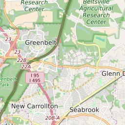
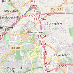
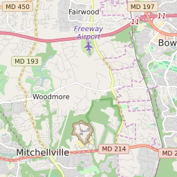
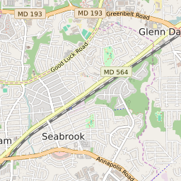

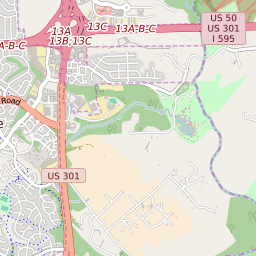
Glenn Dale Maryland Profile
| Place Name | Glenn Dale |
| Place Type | Census Designated Place |
| ZIP Code(s) | 20769 |
| County | Prince Georges County |
| Area Code(s) | 240,301 |
| Timezone | Eastern Standard Time (EST) |
| Population (2022) | 13,973 |
| Population Growth Rate (2010-19) | 9.15% |
| Majority Ethnicity | African American 54.57% |
| Metro/Micro Stats Area | Washington-Arlington-Alexandria, DC-VA-MD-WV |
| US Congressional District(s) | Maryland 5th Maryland 4th |
| House of Delegates Districts | 22,24,23A |
| State Senate Districts | 22,23,24 |
Glenn Dale Race/Ethnicity Data
| Race/Ethnicy | Percentage of Population (2021) |
|---|---|
| White | 19.72% |
| African American | 54.57% |
| Hispanic | 0.08% |
| Asian | 10.8% |
| Native American | 0.06% |
| Hawaiin/Pacific Islander | 14.77% |