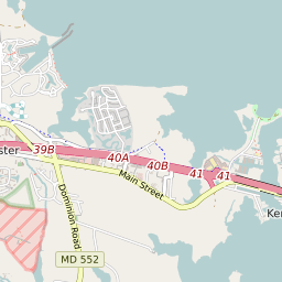


Kent Narrows Maryland Profile
| Place Name | Kent Narrows |
| Place Type | Census Designated Place |
| ZIP Code(s) | 21619 21638 |
| County | Queen Annes County |
| Area Code(s) | 410,443,667 |
| Timezone | Eastern Standard Time (EST) |
| Population (2022) | 546 |
| Population Growth Rate (2010-19) | 7.94% |
| Majority Ethnicity | White 92.14% |
| Metro/Micro Stats Area | Baltimore-Columbia-Towson, MD |
| US Congressional District(s) | Maryland 1st |
| House of Delegates Districts | 36 |
| State Senate Districts | 36 |
Kent Narrows Race/Ethnicity Data
| Race/Ethnicy | Percentage of Population (2021) |
|---|---|
| White | 92.14% |
| African American | 7.86% |
| Hispanic | 0% |
| Asian | 0% |
| Native American | 0% |
| Hawaiin/Pacific Islander | 0% |