


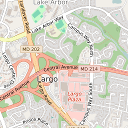

Largo Maryland Profile
| Place Name | Largo |
| Place Type | Census Designated Place |
| ZIP Code(s) | 20743 20774 |
| County | Prince Georges County |
| Area Code(s) | 240,301 |
| Timezone | Eastern Daylight Time (EDT) |
| Population (2022) | 10,272 |
| Population Growth Rate (2010-19) | 8.37% |
| Majority Ethnicity | African American 88.92% |
| Metro/Micro Stats Area | Washington-Arlington-Alexandria, DC-VA-MD-WV |
| US Congressional District(s) | Maryland 4th |
| House of Delegates Districts | 24,25 |
| State Senate Districts | 24,25 |
Largo Race/Ethnicity Data
| Race/Ethnicy | Percentage of Population (2021) |
|---|---|
| White | 5.73% |
| African American | 88.92% |
| Hispanic | 0.29% |
| Asian | 2.56% |
| Native American | 0% |
| Hawaiin/Pacific Islander | 2.5% |