

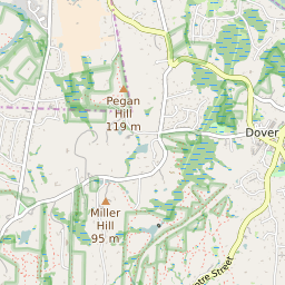
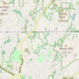
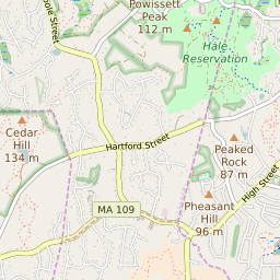
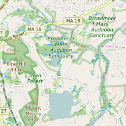
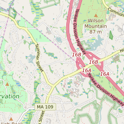
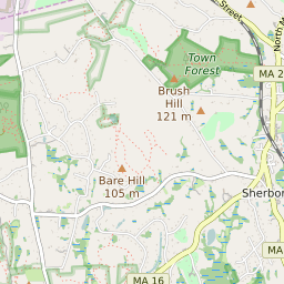
Dover Massachusetts Profile
| Place Name | Dover |
| Place Type | Census Designated Place |
| ZIP Code(s) | 02030 |
| County | Norfolk County |
| Area Code(s) | 508,774 |
| Timezone | Eastern Daylight Time (EDT) |
| Population (2022) | 2,265 |
| Population Growth Rate (2010-19) | 8.26% |
| Majority Ethnicity | White 82.93% |
| Metro/Micro Stats Area | Boston-Cambridge-Newton, MA-NH |
| US Congressional District(s) | Massachusetts 4th |
| State House Districts | 13th Norfolk |
| State Senate Districts | Norfolk and Suffolk |
Dover Race/Ethnicity Data
| Race/Ethnicy | Percentage of Population (2021) |
|---|---|
| White | 82.93% |
| African American | 0% |
| Hispanic | 0% |
| Asian | 16.23% |
| Native American | 0% |
| Hawaiin/Pacific Islander | 0.84% |