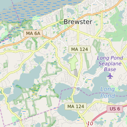
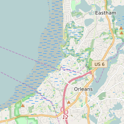
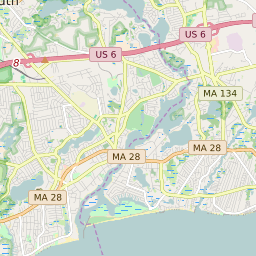


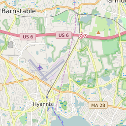


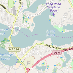
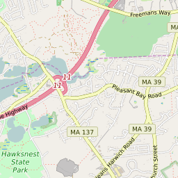
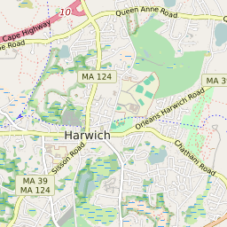

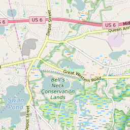
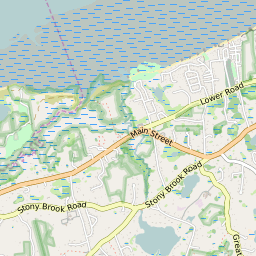


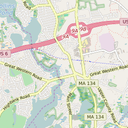

East Harwich Massachusetts Profile
| Place Name | East Harwich |
| Place Type | Census Designated Place |
| ZIP Code(s) | 02633 02645 |
| County | Barnstable County |
| Area Code(s) | 508,774 |
| Timezone | Eastern Daylight Time (EDT) |
| Population (2022) | 4,389 |
| Population Growth Rate (2010-19) | 7.76% |
| Majority Ethnicity | White 97.93% |
| Metro/Micro Stats Area | Barnstable Town, MA |
| US Congressional District(s) | Massachusetts 9th |
| State House Districts | 4th Barnstable |
| State Senate Districts | Cape and Islands |
East Harwich Race/Ethnicity Data
| Race/Ethnicy | Percentage of Population (2021) |
|---|---|
| White | 97.93% |
| African American | 0.94% |
| Hispanic | 0% |
| Asian | 0.29% |
| Native American | 0% |
| Hawaiin/Pacific Islander | 0.83% |