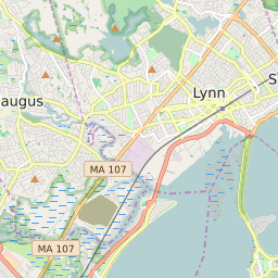
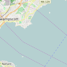


Nahant Massachusetts Profile
| Place Name | Nahant |
| Place Type | Census Designated Place |
| ZIP Code(s) | 01908 |
| County | Essex County |
| Area Code(s) | 339,781 |
| Timezone | Eastern Standard Time (EST) |
| Population (2022) | 3,438 |
| Population Growth Rate (2010-19) | -2.23% |
| Majority Ethnicity | White 97.05% |
| Metro/Micro Stats Area | Boston-Cambridge-Newton, MA-NH |
| US Congressional District(s) | Massachusetts 6th |
| State House Districts | 11th Essex |
| State Senate Districts | Third Essex |
Nahant Race/Ethnicity Data
| Race/Ethnicy | Percentage of Population (2021) |
|---|---|
| White | 97.05% |
| African American | 1.57% |
| Hispanic | 0% |
| Asian | 1.01% |
| Native American | 0% |
| Hawaiin/Pacific Islander | 0.37% |