


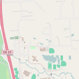
Hartland Michigan Profile
| Place Name | Hartland |
| Place Type | Census Designated Place |
| ZIP Code(s) | 48353 |
| County | Livingston County |
| Area Code(s) | 810 |
| Timezone | Eastern Daylight Time (EDT) |
| Population (2022) | 706 |
| Majority Ethnicity | White 97.87% |
| Metro/Micro Stats Area | Detroit-Warren-Dearborn, MI |
| US Congressional District(s) | Michigan 8th |
| State House Districts | 47 |
| State Senate Districts | 22 |
Hartland Race/Ethnicity Data
| Race/Ethnicy | Percentage of Population (2021) |
|---|---|
| White | 97.87% |
| African American | 0% |
| Hispanic | 0.8% |
| Asian | 0% |
| Native American | 0% |
| Hawaiin/Pacific Islander | 1.33% |