


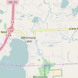


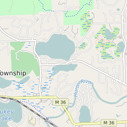


Whitmore Lake Michigan Profile
| Place Name | Whitmore Lake |
| Place Type | Census Designated Place |
| ZIP Code(s) | 48189 |
| County | Washtenaw County Livingston County |
| Area Code(s) | 734 |
| Timezone | Eastern Daylight Time (EDT) |
| Population (2022) | 6,299 |
| Population Growth Rate (2010-19) | 18.08% |
| Majority Ethnicity | White 94.77% |
| Metro/Micro Stats Area | Detroit-Warren-Dearborn, MI Ann Arbor, MI |
| US Congressional District(s) | Michigan 7th Michigan 8th |
| State House Districts | 42,52 |
| State Senate Districts | 22 |
Whitmore Lake Race/Ethnicity Data
| Race/Ethnicy | Percentage of Population (2021) |
|---|---|
| White | 94.77% |
| African American | 0.32% |
| Hispanic | 0% |
| Asian | 1.21% |
| Native American | 0% |
| Hawaiin/Pacific Islander | 3.71% |